Tool · Isochrones
How far can you drive in a minute?
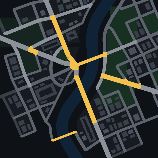
Click a street and the city colours in by travel time: what you reach in a quarter of the drive, in half, and in the whole of it. One-way streets, speed limits and junctions are all counted.
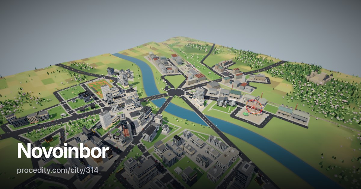
How it works
Click and watch it spread
-
Click a street
That is your starting point. Click again anywhere to move it.
-
Choose the budget
30 seconds, one minute or two – most cities are crossed within two.
-
Read the bands
Green, yellow and red bands show the nearest quarter, half and the whole budget. Hover a street to see when it is reached.
The tool
Distance isn't the same as reach
A circle on the map lies: a river with one bridge, a motorway or a one-way grid change how far you really get. An isochrone follows the actual network, using the same routing rules as the city's traffic, and cuts each street exactly where the time runs out.
Planners use isochrones to place fire stations and shops. Here you can try that on any generated city.
Isochrones at a glance
- Budgets
- 30 seconds, 1 minute, 2 minutes
- Routing
- Same rules as traffic: one-ways, speeds, junctions
- Data
- City API graph.isochrone
Keep exploring
More to try
-
 Tool
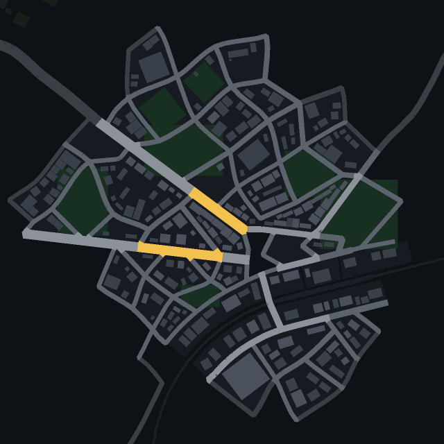
City heatmap
See where people live, work and walk in the park – the city's data as a colour wash over the map.
-
 Tool
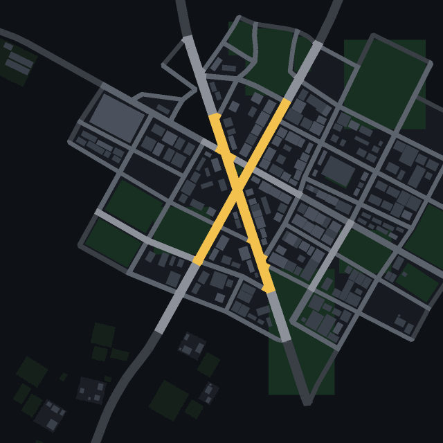
Road centrality
Which streets hold the city together? See the roads most routes across town have to use.
-
 Tool
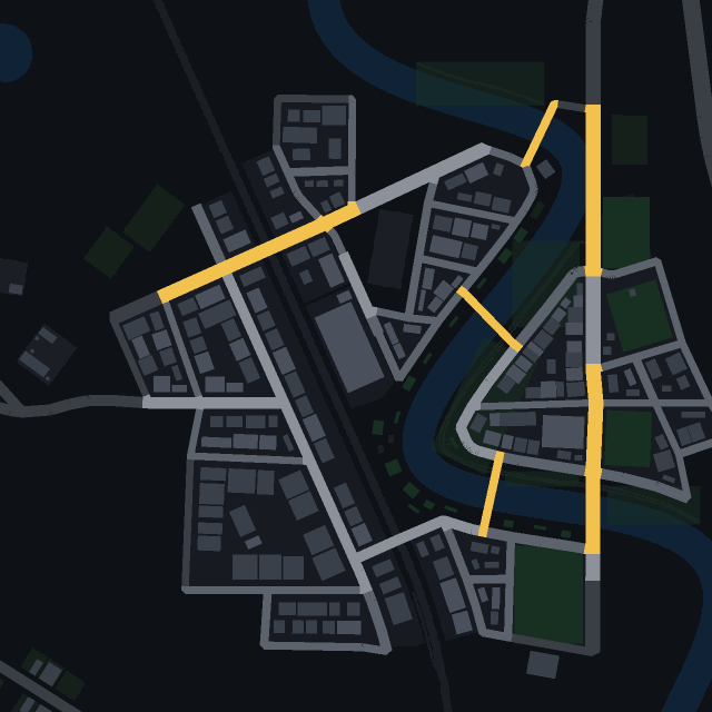
Transit map
Every railway, tram and bus line of the city, with its stops, drawn right on the streets.
-
 Game
Find the car
One car in town has a colour no other car has. Spot it in traffic as fast as you can.