Tool · Road centrality
Which streets hold the city together?
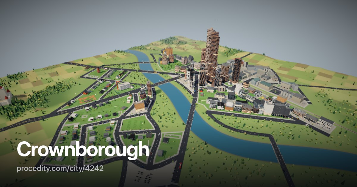
Route a car between every pair of junctions in the city and count which streets they all pass. A handful carry most of the trips – those are the roads the city cannot do without.
How it works
Count the routes
-
Routes everywhere
Shortest routes between junction pairs are computed with the same routing the traffic uses.
-
Ribbons by share
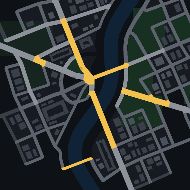
Main through routes are wide and red, busy streets yellow, the rest blue. Switch each class on and off.
-
Top streets
Show the top 50, 100 or 200 streets, and hover any of them to see its share of routes.
The tool
Betweenness, on a real map
This is edge betweenness centrality: the share of shortest paths that run through a street. It finds bridges over the river, the avenue everyone uses to reach the centre and the single road that links a suburb – the places where one closure would hurt.
Try it on a city with a river and few bridges, then on a tidy grid town – the difference is striking.
Road centrality at a glance
- Measure
- Edge betweenness centrality
- Classes
- Main through routes, busy, used
- Data
- City API centrality()
Keep exploring
More to try
-
 Tool
City heatmap
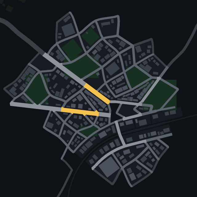
See where people live, work and walk in the park – the city's data as a colour wash over the map.
-
 Tool
Isochrones
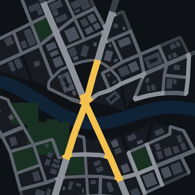
Click a street and see how far a car gets in 30 seconds, one and two minutes.
-
 Tool
Transit map
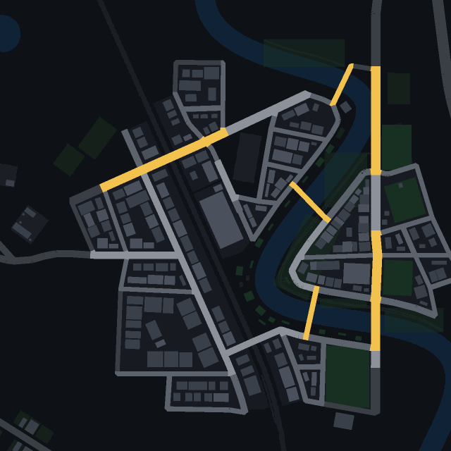
Every railway, tram and bus line of the city, with its stops, drawn right on the streets.
-
 Game
Find the car
One car in town has a colour no other car has. Spot it in traffic as fast as you can.