Tool · Transit map
Every train, tram and bus line, on the streets.
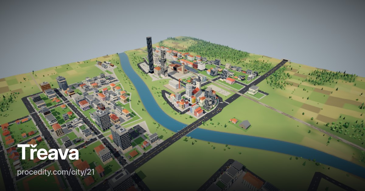
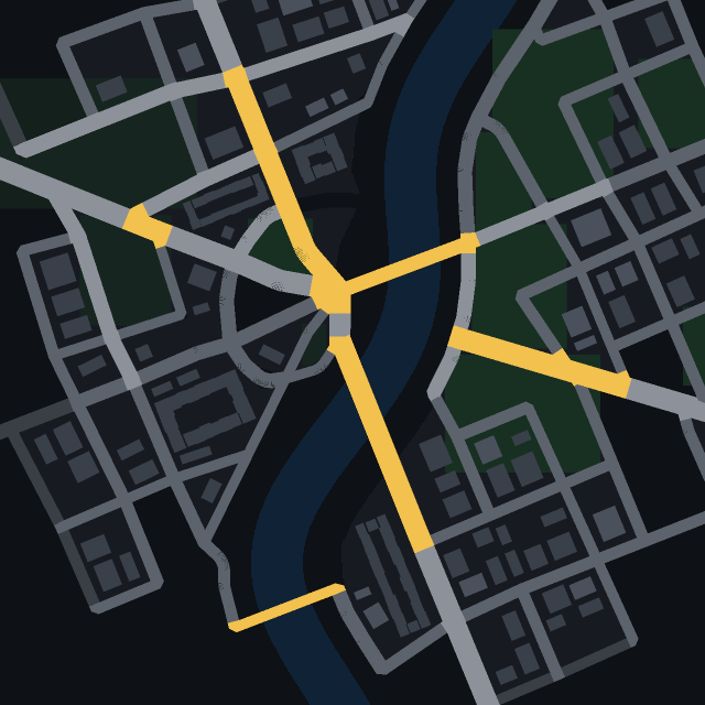
Generated cities get public transport planned with the streets: a railway with stations, tram lines from the station to the centre, bus loops out to the suburbs. The transit map draws every line and stop over the 3D city.
How it works
Lines, stops, names
-
See the network
Railway, tram and bus lines in their own colours, with every stop marked.
-
Switch lines
Turn any line on or off to follow a single route through town.
-
Hover a stop
See its name and the lines that serve it. The trains and trams keep running underneath.
The tool
Transit planned, not painted on
The railway is planned before the streets, so stations sit where a real town would put them and become district centres. Tram lines run from the station to the centre and between sub-centres; bus loops reach the outskirts the trams don't.
Not every seed has all three – a small town may have only buses. The demo opens seed 19, which has a railway, trams and buses.
Transit map at a glance
- Lines
- Railway, trams, buses
- Stops
- Stations, tram and bus stops, with names
- Data
- City API transit
Keep exploring
More to try
-
 Tool
City heatmap
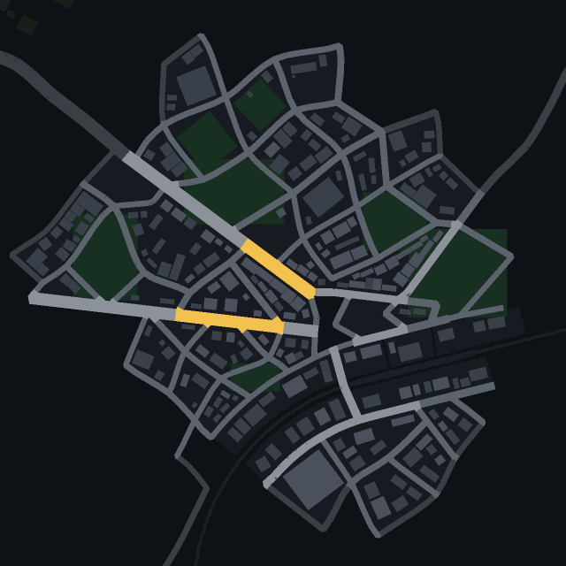
See where people live, work and walk in the park – the city's data as a colour wash over the map.
-
 Tool
Isochrones
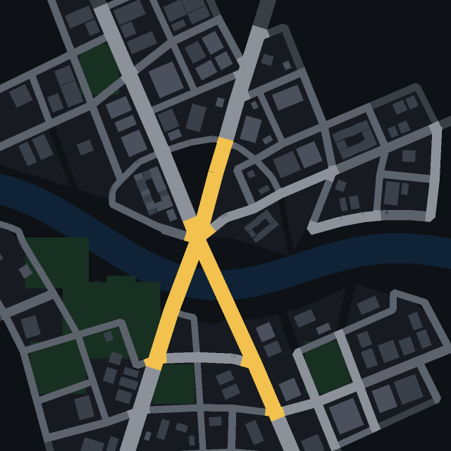
Click a street and see how far a car gets in 30 seconds, one and two minutes.
-
 Tool
Road centrality
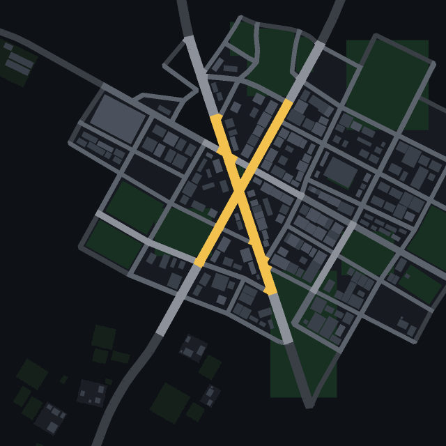
Which streets hold the city together? See the roads most routes across town have to use.
-
 Game
Find the car
One car in town has a colour no other car has. Spot it in traffic as fast as you can.